
420 kg Waste sorted
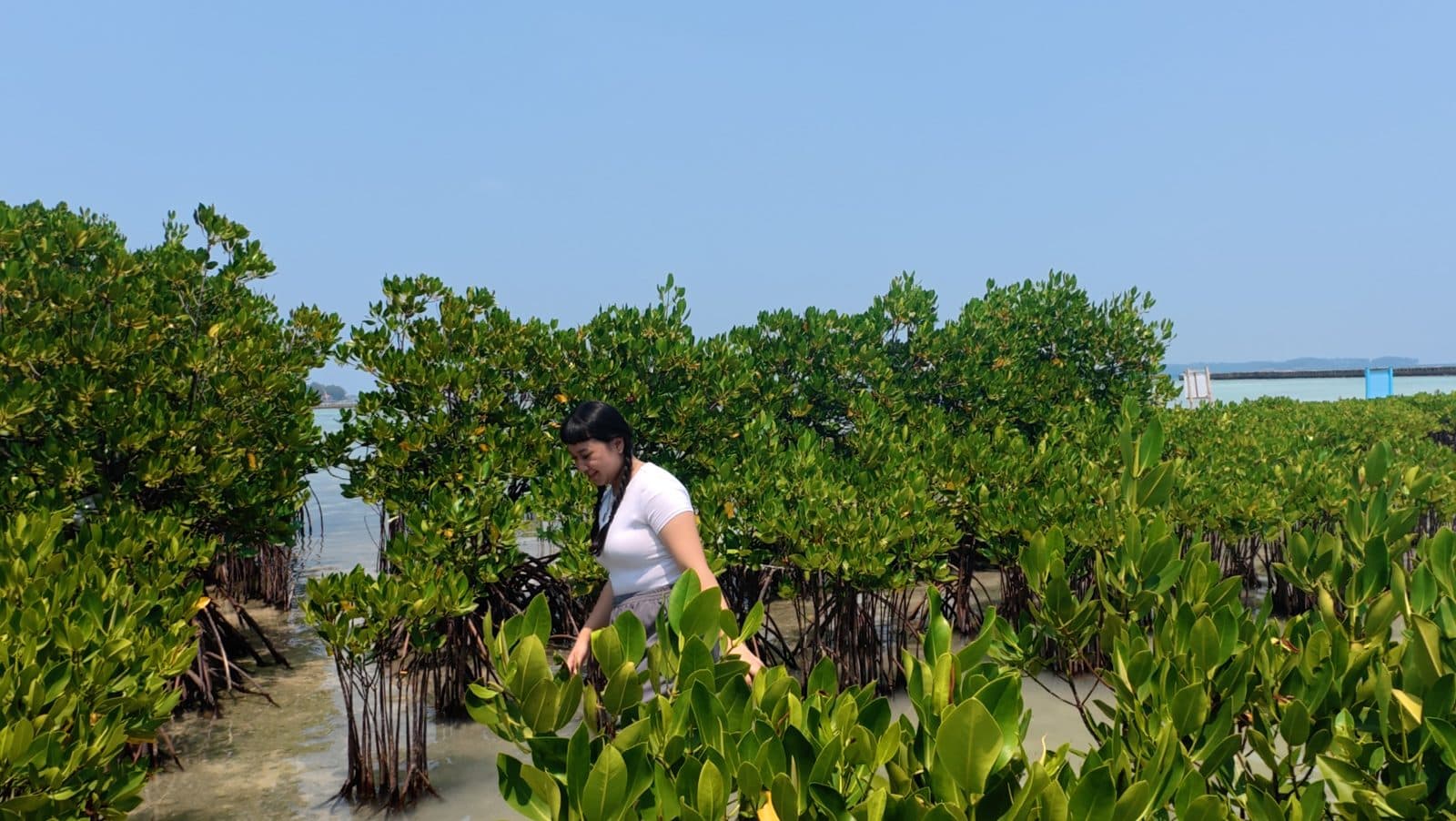
Trace conservation impact along Indonesia’s coast
From beach cleanups in Komodo to mangrove nurseries in North Bali: see where the work happens, read the field notes, and check the verification status yourself.
- Public locations are approximate
- Field notes can be traced back
- Data comes from published project records
- 3public conservation sites
- 2sites with verified evidence
- 0site with a record in review
Figures follow published project records. Anything still awaiting review is not counted as verified.
Find projects by activity type and evidence status
Pick a pin or a site in the list to open its details. Map positions are intentionally approximate to protect sensitive areas.
Map filters
3 sites match filters
Jump to mapLoading interactive map…
Verified evidenceNot yet verified
Komodo Cleanup Route
East Nusa Tenggara
Field evidence review
1 verified · 0 in review
1 activity records
Latest survey: 2026-09-19
Latest activity
Komodo school cleanup launch
Activity / verified / Waste sorted: 420 kg
Open source recordField notes you can trace
Each note links field activity to one number or finding, together with its verification status.
89% Survival rate
How to read impact calmly, beyond the numbers
Big numbers are easy to produce. So each site also shows its evidence status, survey timing, and activity notes.
- Start with the place
Find sites by activity: beach cleanup, mangrove, or coral.
- Check the evidence status
Tell verified records apart from those still awaiting review.
- Open the source record
Each record links to its project page, so you can trace where it came from.
- Choose your next step
Support a campaign, join an expedition, or start with Terumbu Academy.
Two things people often mix up
Project verification level
Shows the type of check a project has passed. On this map you will see three levels:
- Basic verified
- Document verified
- Field verified
Activity record status
Shows whether one field activity record is verified or still in review. A project can have a high verification level while its latest record still awaits review.
Common questions about the impact map
Can’t find your answer? Ask the Terumbu team and we will help.
How accurate are the locations on the map?
Public locations are intentionally approximate. We do not share precise coordinates for sensitive ecological areas.
What is the difference between project verification level and activity record status?
The project verification level shows the type of check a project has passed. The activity record status shows whether a single field record is verified or still in review.
Why is a site still marked as in review?
The activity there is recorded, but its field evidence has not finished review. We still show it so you can see what is verified and what is not.
How often is the data updated?
The map follows published project records. The latest survey or activity date appears in each site’s details when available.
How can I take part?
You can support a campaign, join a conservation expedition, or learn through Terumbu Academy.
One site can be the start of a longer contribution
Pick the project closest to your interests, then follow its field updates.